Annapurna Circuit, also known as Annapurna Circuit Trek distance depends upon the starting and ending points of trekking. In the early days, when motorable roads were not built it took nearly three weeks to complete the whole circuit. At present one can complete the Annapurna Circuit in just within a week or less. Depends upon where you start the adventure from and to the finishing points. Most trekkers at present start the walks from Dharapani onwards to Manang, after crossing Thorang-La Pass. Which is the boundary between Manang and Mustang district, then reaches to Muktinath at Mustang areas. From Muktinath, trekkers enjoy the comfort of a jeep drive to reach the lower warm area at Tatopani Village. Then continue the uphill trek to Ghorepani and Poon Hill then conclude the trek either at Ulleri Village. Some people walk to Nayapul for the drive to Pokhara city, to complete the Annapurna Circuit.
The Annapurna Circuit trek, distance between 160–230 kilometers (100–145 miles). It entirely depends on the route and available transportation to the starting point of the trek. As well in the end of the journey on concluding the Annapurna Circuit after 12 to 22 days.
Annapurna Circuit or Around Annapurna Trekking Routes:
The Annapurna Circuit or Around Annapurna trek can be done in two ways, clockwise or anticlockwise. The most popular and the best is using the anticlockwise, starting from Bhesishar the headquarters town of Lamjung district.
Then entering the Manang district from Talbesi onward following the trail towards Dharapani, Timang, Chame, and Pisang to Manang Village.
The distance covered approx. 98 km/61 miles, the adventure continues towards higher regions reaching Pisang Village at 3,240 m. From here the Manang picturesque valley starts after an overnight stay in Pisang village.
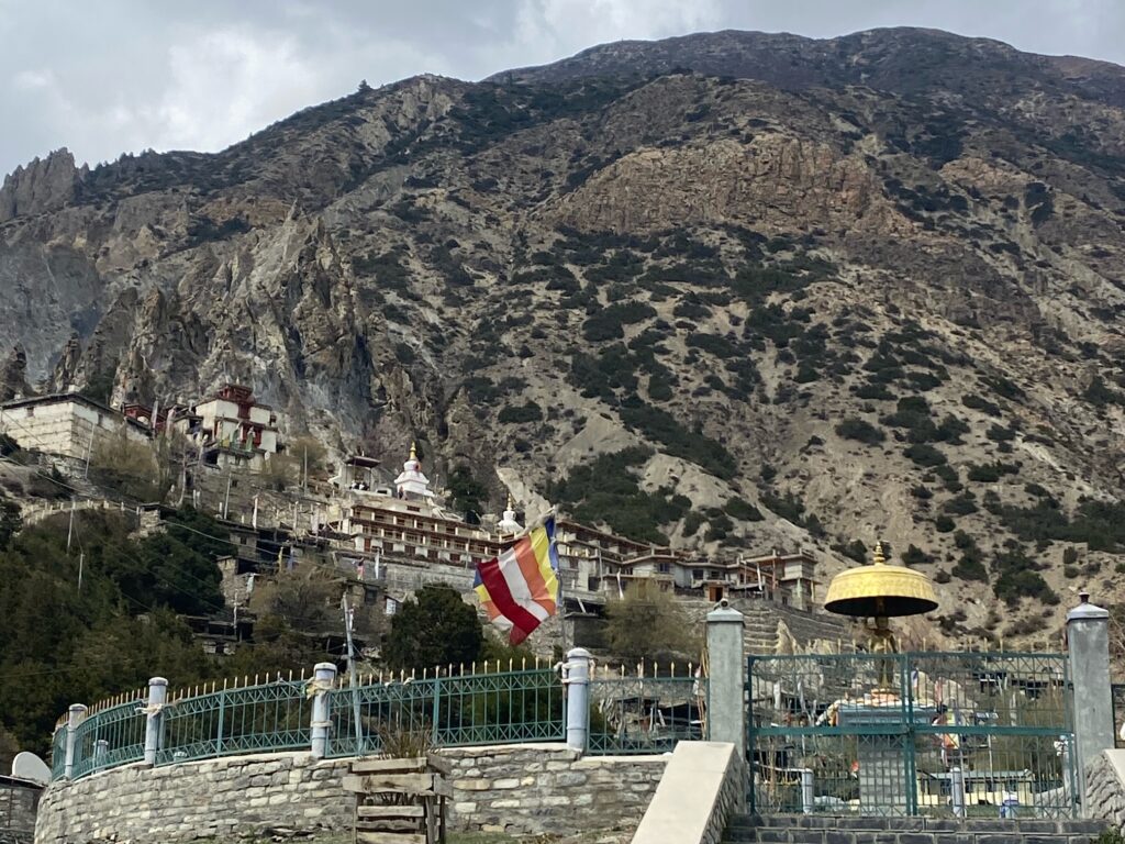
The distance from Lower Pisang to Manang Village is approx. 12 k.m./ 7.5 miles walking distance. It takes about 4-5 hours through the villages of Humdre and Braga, where trekkers may take time visiting Braga Monastery. As well, the walk gets slower due to spectacular views of snow-capped peaks that encircles the Manang Valley.
Some travelers takes the comfort of 4WD Jeep from Bhesishar Town to Manang, a drive of about 3-4 hours. Covering a distance of 98 km/61 miles, which is not good, altitude wise. The best ways to reach Manang Village and onwards is walking from Dharapani or Chame. Allows trekkers time to get acclimatized as well as to enjoy cultures and views of surrounding landscapes and snow peaks.
Nevertheless, on reaching Manang Village all trekkers needs an extra day at leisure for acclimatization at 3, 540 m/11,614 feet. Manang offers several short and long hike to enjoy the day amidst scenic surrounding. The best is hike to Gangapurna Himal Ice fall, the trail follows across Masrsyangdi River. Then short climb to the top of a high ridge for exciting views of Gangapurna Himal Ice-Fall and glaciers.
Includes close views of Annapurna II and III, with Chulu peaks.
Options for hike Ice Lake and 11th Century saint Milarepa Meditation Cave, a long distance walks. Takes more than 5-6 hours both ways, a tiring walks with touch of high altitude.
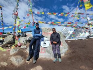
From Manang next destination is Yak Kharka or Ledar at 4,110 m altitude and Distance of approx. 10 km / 6.5 miles takes about 3-4 hours to enjoy lunch and overnight stops. The adventure continues next morning to Thorang Phedi or Upper High Camp. Most trekkers prefers with short steep climb to High Camp above Thorang Phedi. Which is at above 4,900 m/16,076 feet high covering 8 km/ 5 miles. Walks from Yak Kharka to High Camp, it is the highest overnight stops of the adventure. The next stop is Muktinath at Mustang district, from High Camp to Muktinath is approx. 15 kilometers / 9.5 miles. From High Camp to the top of Thorang-La Pass at 5,416 m/17,700 feet, the highest point of the trek. Takes more than 2-3 hours depending upon one’s fitness level to cover approx. 7 km/ 4.5 miles. Due to the rapid gain in altitude with cold morning breeze, in snow condition can take more than 4 hours.
Annapurna Circuit Trek Distance
Thorang-La Pass is the mid-way of Annapurna Circuit, as well as the boundary between Manang and Mustang district. From the top of Thorang-La a long descent to Muktinath Temple premises. Then short walk to Rani Pawa, the main village around Muktinath, located on the motorable road.
The distance from Thorang-La Pass is approx. 8 km or 5 miles takes more than 3 hours. Walking on steep downhill to another Phedi of Muktinath and Mustang district. From this west Phedi, less than hour to overnight stop at Rani Pawa in Muktinath area.
Most trekkers ends the Annapurna Circuit Trekking in the mid-way at Muktinath with drives to Jomsom. Covering 18 km/11 miles from the village of Rani-Pawa, Muktinath to Jomsom Town. For last overnight stop before flying to Pokhara from Jomsom or taking a drive.
The total Trekking distance will be approx. 96 km/60 miles, without drives. From Dharapani in Manang to Jomsom Town at Mustang district.
Options For 4 wheel Drivers (4WD) To Tatopani, Via Jomsom From Muktinath:
Most trekkers opts for drives from Muktinath to reach lower warm areas at Tatopani Village with natural hot spring. Distance of 64 km/40 miles on drives following the Kaligandaki River Valley through Jomsom, the headquarters of Mustang district. Then heading down to Ghasa via Marpha, Tukuche and Kalapani to reach Tatopani Village. After an overnight at Tatopani village driving to Pokhara, distance of 90 km / 56 miles via Baglung and Beni Towns.
Annapurna Circuit Trekking Milage:
Starting from Bhesishar, Lamjung on drives to Dharapani at Manang to start the Annapurna Circuit trek. Distance of 34.8 km/22 miles from Bhesishar to Dharapani.
- Dharapani to Chame Town on foot. 15 km/5 miles takes more than 5 hours.
- Chame to Pisang Village 12 km/7.5 miles walking distance.
- Pisang to Manang approx. 13 km/ 9 miles.
- Manang to Yak Kharka or Ledar Approx. 10 km / 6.5 miles.
- Yak Kharka to Upper Phedi or High Camp. 8 km/5 miles.
- High Camp to Muktinath via Thorang-La Pass 15 kilometers / 9.5 miles.
- Muktinath to Tatopani via Jomsom 64 km/40 miles driving distance.
- Tatopani to Ghorepani approx. 15 km/ 10 miles.
- Ghorepani to Hille Village via Ulleri Approx. 12 km/7.5 miles.
- Hille to Nayapul end of the walk approx. 9 km/5.5 miles.
- Nayapul to Pokhara on drives 40 km/25 miles the end of Annapurna Circuit.
Total distance with drives from Bhesishar to Dharapani, and from Muktinath to Tatopani drives with trek to Ghorepani. Then walk to Hille and Nayapul with last drive to Pokhara is 247 km/154 miles.
Conclusion
The Annapurna Circuit Trek is truly one of the most diverse and rewarding journeys in the Himalayas. Depending on your starting and ending points, the trek can cover anywhere between 160 to 230 km and last from 12 to 22 days. Thanks to road access, it can now be completed in a shorter time, but walking the trail remains the best way to experience its beauty. From lush valleys and traditional villages to the high-altitude Thorang-La Pass, every step brings new scenery and culture. Trekkers can also choose to shorten the journey with jeep rides or flights, making it flexible for different time frames and fitness levels. Whether you trek the full circuit or just a part, the Annapurna Circuit offers an unforgettable adventure filled with majestic peaks, cultural encounters, and the perfect mix of challenge and reward.
